Receive 5 free enquiries now.
Claim free credits now.
Already an account? Login here.
Parcel search based on address or CaPaKey.
All information is processed in less than 1 minute.
The collected information is bundled in a PDF document.
The information collected from each parcel enquiry is automatically bundled and delivered in a single PDF document. Achieve targeted and efficient results in no time.

Notary
With the ActaMaps service, notaries and their employees can request an extensive set of maps and extra information for a properties located in Flanders, Brussels or Wollania. ActaMaps also integrates seamlessly with the SDP ActaLibra package.

Real estate
Enable real estate agents to consult various open-data government sources for properties located in Flanders, Brussels or Wallonia. Get results delivered in a uniform digital file without hassle.
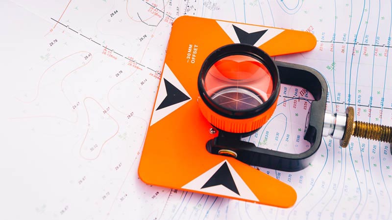
Surveyor
When studying and designing spatial planning files by surveyors, ActaMaps is happy to lend a helping hand by providing additional information about the property or parcel to be investigated.
Other sectors
The ActaMaps service can also be used for other sectors where additional information needs to be investigated or included about the condition or location of a property.
8
NOVEMBER 2023
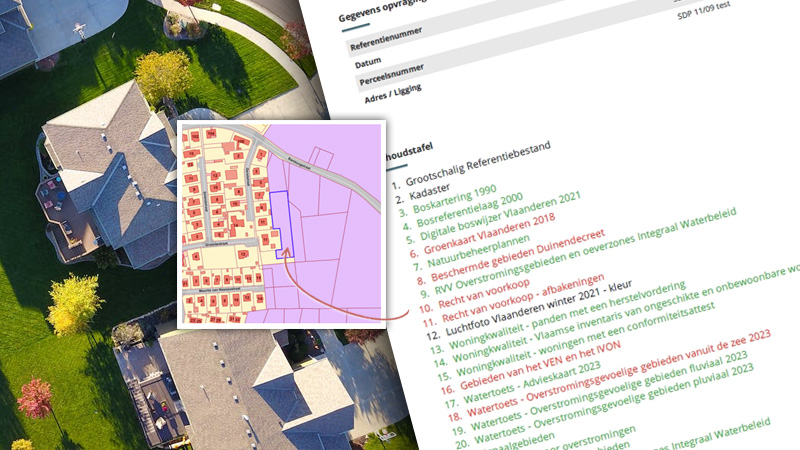
For each map or data layer, it is currently evaluated whether specific information is available within the boundaries of the respective asset or parcel. If so, this is immediately reflected by the color of the corresponding data layer in the table of contents
Login
11
SEPTEMBER 2023
The addition of the new dataset "Nature Management Plans" enriches our data sources and provides valuable insights for natural area conservation and management.
Login
11
SEPTEMBER 2023
This addition shows the digital delineations of protected areas designated and ratified under the Dune Decree of.
Login
11
JANUARY 2023
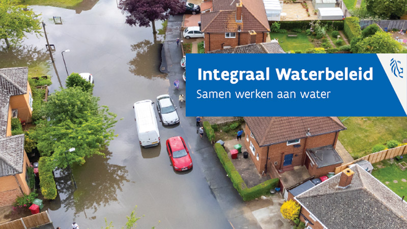
Three different flood sources (fluvial, pluvial, coastal), each shown separately on maps, have been added. These new maps will also be based on the most recent model calculations, so that the coloration of floods on the maps will be considerably refined.
These changes are foreseen in the context of the change of information requirements on flood sensitivity.
Login
ActaMaps is completely independent of any notarial software and is therefore accessible to any notary practice in Belgium.
However, if you work with SDP ActaLibra, ActaMaps is directly accessible from your notarial software and ActaMaps enquiries are directly linked to your ActaLibra file.