8
NOVEMBER 2023
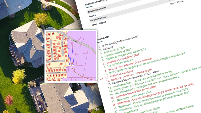
For each map or data layer, it is currently evaluated whether specific information is available within the boundaries of the respective asset or parcel. If so, this is immediately reflected by the color of the corresponding data layer in the table of contents
Login
11
SEPTEMBER 2023

The addition of the new dataset "Nature Management Plans" enriches our data sources and provides valuable insights for natural area conservation and management.
Login
11
SEPTEMBER 2023
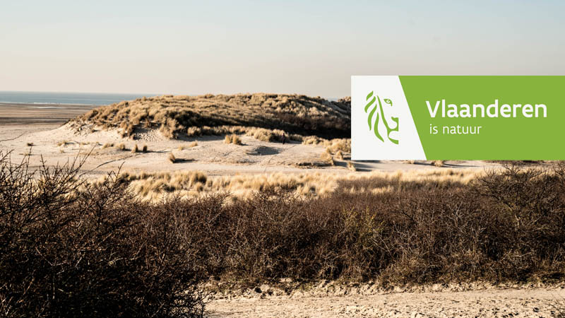
This addition shows the digital delineations of protected areas designated and ratified under the Dune Decree of.
Login
11
JANUARY 2023
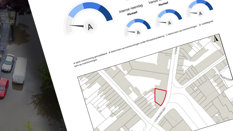
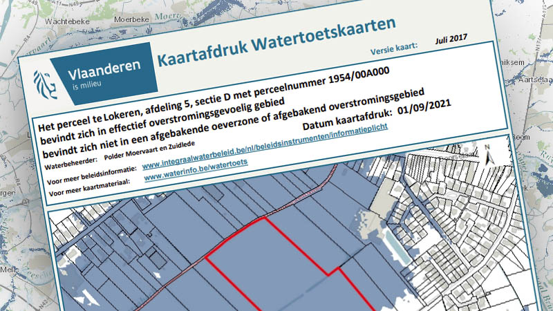
Three different flood sources (fluvial, pluvial, coastal), each shown separately on maps, have been added. These new maps will also be based on the most recent model calculations, so that the coloration of floods on the maps will be considerably refined.
These changes are foreseen in the context of the change of information requirements on flood sensitivity.
Login
01
JANUARY 2023
On 1 January 2023, a lot changed in terms of the information duty regarding flood sensitivity. The distinction between actual and potential flood sensitivity disappears, replaced by a so-called P- and G-score and new water maps.
This information will be available in updated form, as an additional appendix, in the familiar ActaMaps enquiry.
Login
01
JULI 2022
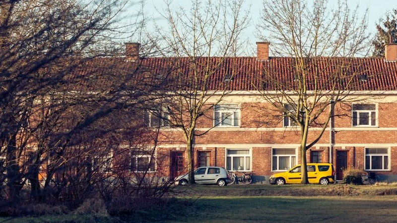
Thanks to these 'Housing Quality' additions, you gain access to properties with a repair claim, Flemish inventory of unfit and uninhabitable properties and/or properties with a certificate of conformity.
Login
01
MAY 2022
At a glance, you will get the full current status of PFAS measurements and associated measures for plots in Flanders.
Login
01
SEPTEMBER 2021
From now on, every ActaMaps enquiry for the Flanders region will be expanded with 2 new waterinfo attachments. The 'Watertoest' and 'Risicozones' print will be automatically retrieved as addition on top of the familiar ActaMaps enquiry. These new prints are attached in the delivered e-mail.
Login
26
APRIL 2021
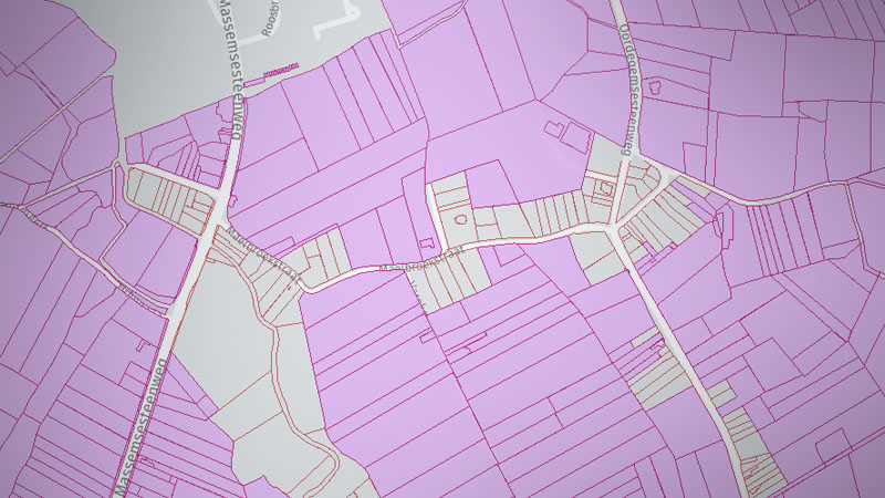
ActaMaps has been expanded with additional information on pre-emption rights in Flanders. The new search indicates whether - on the date of the search - pre-emption right applies to the requested parcel.
Until now, it was only possible to check whether the requested parcel was bound within a delimitation pre-emption zone.
Login
26
APRIL 2021
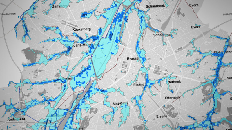
Plot searches for the Brussels region were provided with 2 new data layers.
The 'flood hazard map' and the 'fluvial flood hazard map'.
30
NOVEMBER 2020

From now on you can also consult information about parcels throughout the whole of Belgium with ActaMaps. Support is extended for the Belgian regions of Brussels and Wallonia. Parcel enquiries take only 60 seconds by average.
Discover ...
30
NOVEMBER 2020

The simplicity of ActaMaps is one of the features that users appreciate most. The new look & feel is fully in line with this and explicitly focuses on simplicity. This makes the new ActaMaps even more intuitive and pleasant to use.
Login
Via this news page we will keep you informed of the latest news within the ActaMaps application.